Coffee on the deck as boats ripple across Liberty Bay sounds dreamy. Turning that dream into a smart purchase takes clear steps, not guesswork. In this guide, you’ll learn how Poulsbo waterfront works in real life: pricing tiers, moorage options, permits, flood and insurance, and what to check before you write an offer. Let’s dive in.
Why buy on Liberty Bay
Liberty Bay gives you classic Northwest shoreline, protected waters, and a short stroll to downtown Poulsbo. You get views, boating access, and a small‑town marina scene. If you want water access with less open‑Sound exposure, Liberty Bay’s calmer setting is a fit.
Poulsbo waterfront types
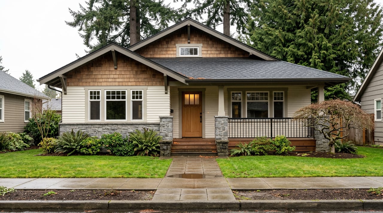
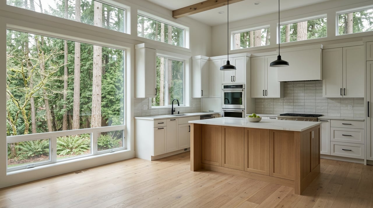
Water‑view homes
These lots offer broad views but no direct tidal access. You get lower maintenance and fewer in‑water permitting concerns. For many buyers, that means simpler ownership and lower long‑term costs.
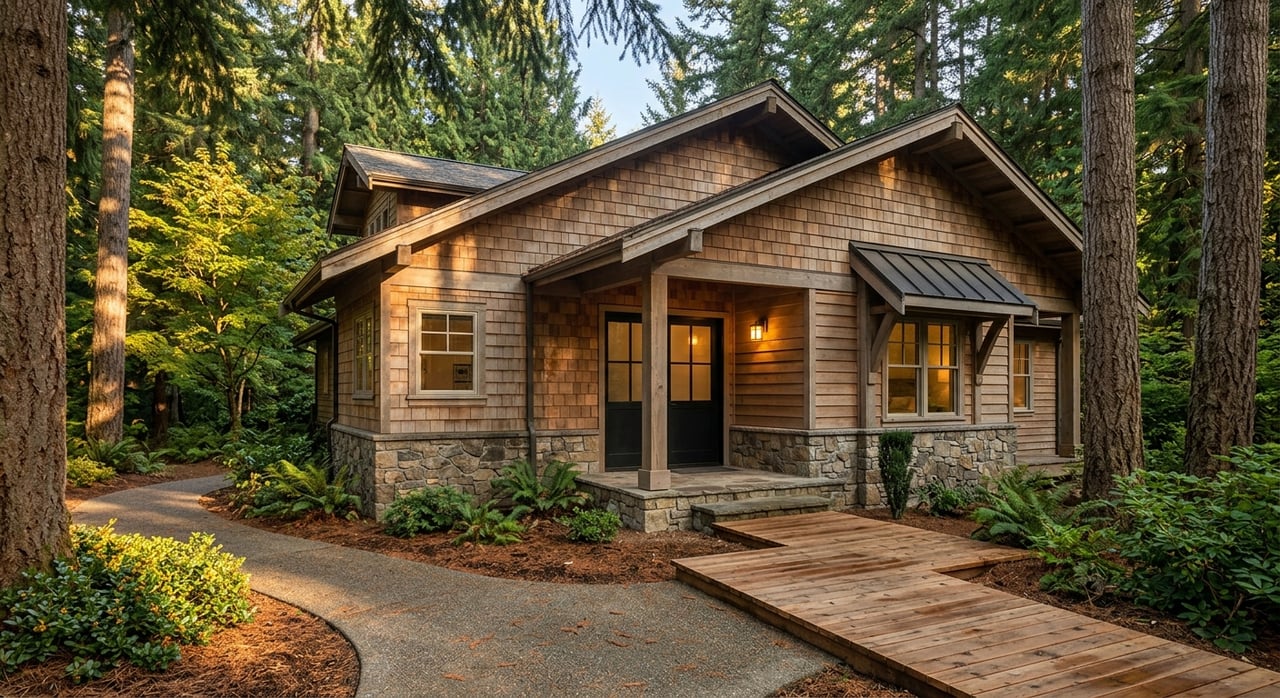
High‑bank or bluff frontage
High‑bank sites sit well above the ordinary high water mark. You often get sweeping views and privacy. Access to the beach or water can require long stairs or a tram, and private moorage is harder and costlier to add.
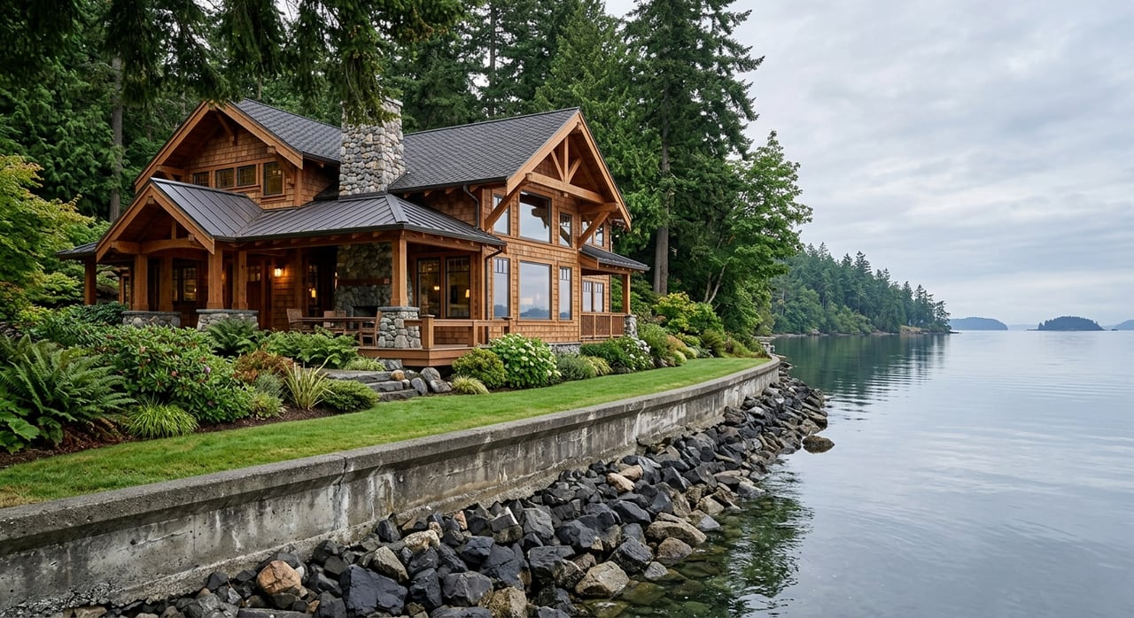
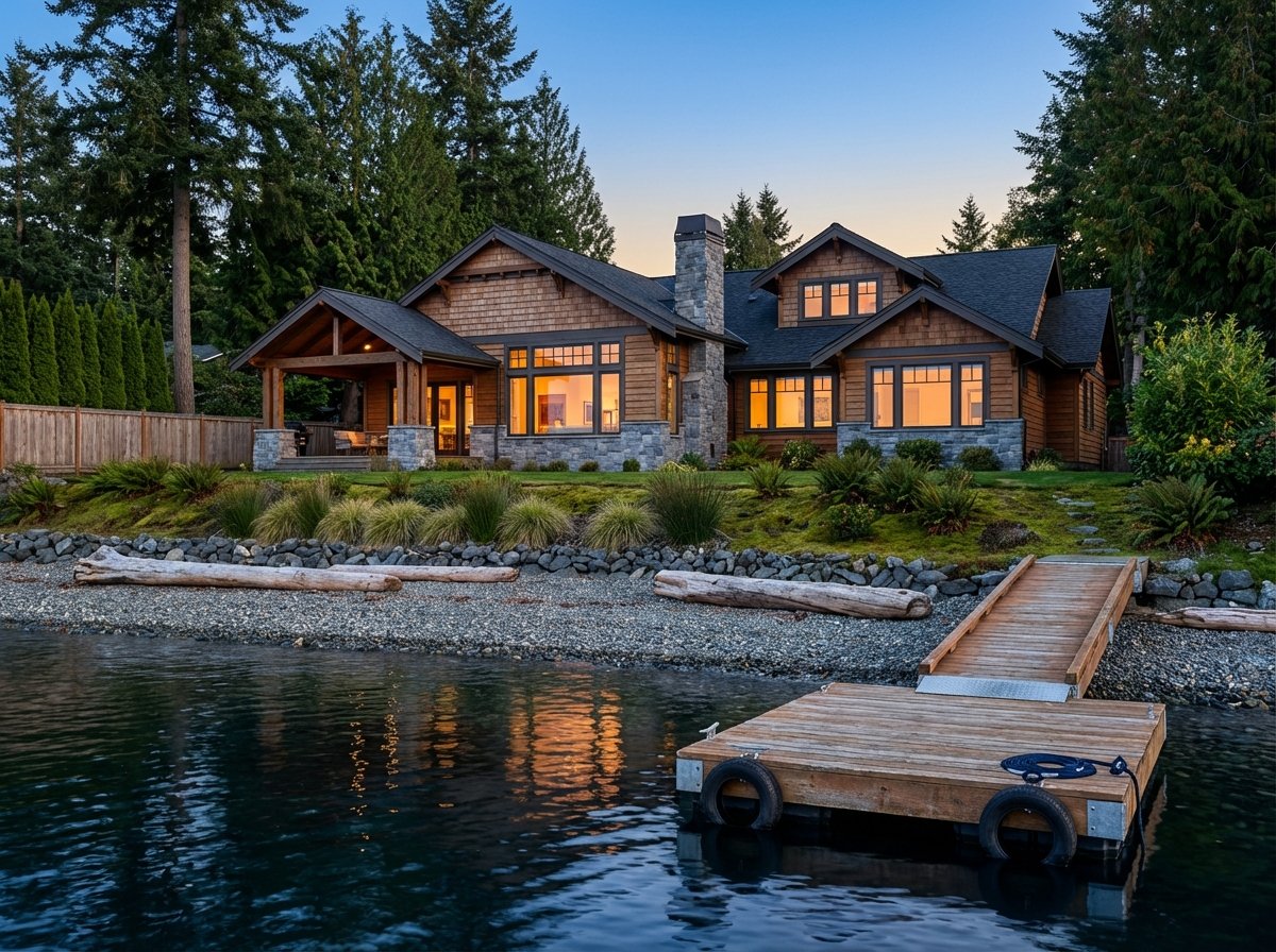
Low‑bank or no‑bank frontage
Low‑bank parcels provide walk‑down beach access at typical tides. They are attractive if you want daily shoreline use and the potential for a private dock, subject to permits and aquatic‑land status. Expect higher maintenance, possible bulkhead needs, and more direct exposure to tides and stormwater.
Waterfront condos and townhomes
Liberty Bay has condo options that deliver views and shared amenities at a lower entry price than single‑family waterfront. You trade private control for simplicity, lower maintenance, and often better walkability to downtown.
Poulsbo waterfront pricing
There is no single “waterfront price” in Poulsbo. Citywide home values have recently hovered in the mid six‑hundreds, but direct waterfront ranges well above and below that depending on type and features. Use these buyer‑friendly tiers as a starting frame, then confirm with current data when you shop:
- View condos and smaller waterfront condos: often in the low to mid six figures.
- Modest cottages or high‑bank homes with strong views: mid to high six figures.
- Low‑bank single‑family with private frontage and potential moorage: high six figures to low seven figures.
- Exceptional or estate‑level sites: above that range.
Recent Liberty Bay area examples illustrate the spread: a single‑family home on Fjord Dr closed around 1.03 million in November 2024, and a Virginia Point sale was near 975 thousand in September 2024. A Liberty Bay Estates waterfront condo sold in the low 300s in 2025. Treat these as anchors, not promises. The right range for you will depend on bank height, access, condition, and moorage.
Moorage options in Liberty Bay
Common ways to keep a boat
- Private dock on your property. Often possible only when shoreline, depth, and aquatic‑land status allow. You may need authorization for structures over state‑owned tidelands.
- Shared or joint‑use dock. Some subdivisions or shoreline rules prefer shared moorage for new development.
- Marina slip. The downtown marina offers transient and permanent moorage, fuel, pump‑out, and a tidal grid. The port publishes slip lengths, depths, and monthly rates, and updates open‑slip availability on its site. Check current details on the Port of Poulsbo moorage and rates page and the main Port of Poulsbo site.
- Mooring buoy. Useful where docks are impractical or restricted. Early coordination with agencies is recommended.
Depth and tides matter
Liberty Bay’s tidal range affects whether a dock gives enough depth for your boat at ordinary low tide. Before you plan a berth, review local tidal datums for Poulsbo and how they relate to your site’s water depth. NOAA’s local station lists mean higher high water and mean lower low water, which helps you judge feasibility. See the NOAA Poulsbo tidal benchmarks.
Permits to verify in Poulsbo
Buying waterfront means doing your homework on existing and planned structures. Ask the seller for complete records, then confirm with agencies.
City shoreline permits
Within Liberty Bay’s shoreline jurisdiction, the City of Poulsbo’s Shoreline Master Program regulates docks, boat launches, and shoreline stabilization. Verify whether any dock or bulkhead has an approved shoreline permit, and request copies. Start with the city’s shorelines program page for maps, standards, and contacts.
Washington DNR aquatic lands
If a dock or float extends over state‑owned tidelands or bedlands, you may need an authorization or lease from the Washington Department of Natural Resources. Abutting upland owners have preference, but DNR still regulates structure type and size. Confirm whether your tidelands are privately owned or leased and whether any authorization is in place. Review DNR’s private recreational dock rules in the state register here.
WDFW Hydraulic Project Approval
Any work using or changing the bed or flow of state waters typically requires a Hydraulic Project Approval from Washington Department of Fish and Wildlife. This applies to pile work, dock replacement, or dredging. Learn more about timing windows and conditions in WDFW’s overview here.
U.S. Army Corps of Engineers
Work in navigable waters and dredge or fill activities require authorization from the Corps, sometimes under a Nationwide Permit with pre‑construction notification. See the Corps’ permit guidance here.
Practical timing
Small repairs may qualify for exemptions, but multi‑agency reviews for new or replacement structures can take months. Ask for existing permits, mitigation plans, eelgrass or forage‑fish surveys if any, and DNR lease documents early in your review. The state’s one‑stop permitting resource can help you plan the sequence. Start with ORIA’s application and contacts here.
Flood, tides, armoring, and insurance
Lenders require flood insurance when a building that secures the loan sits in a FEMA Special Flood Hazard Area. On coastal FIRMs, Coastal A and V zones reflect wave effects and may carry higher premiums. Always check the FEMA Map Service Center for the exact zone, and request an elevation certificate if available. Start with the FEMA Map Service Center.
Shoreline armoring is tightly regulated. Many jurisdictions discourage new vertical bulkheads unless no reasonable alternative exists, and they often require mitigation or softer stabilization approaches. Replacing a failing bulkhead can be costly and usually involves multiple permits. Review Poulsbo’s shoreline resources for standards and contacts on the city’s shorelines page.
The bottom line: flood zone, elevation, and armoring history affect insurance, maintenance, and long‑term value. Budget for inspections and records that help you understand those costs.
Long‑term value drivers
- Scarcity of moorage. Properties with legal, permitted deep‑water moorage are rare and often command a premium. If private moorage is not an option, the Port’s permanent slips can meet the need, with recurring monthly costs. Check current port rates and availability on the Port of Poulsbo rates page.
- Permit certainty. Docks or bulkheads built without proper permits or over state lands without authorization can trigger compliance costs or even removal orders at sale or replacement. Make permit verification a core contingency.
- Maintenance and insurance. Docks, floats, and bulkheads have finite lifespans. Flood premiums and ongoing upkeep can change your total cost of ownership and your eventual resale narrative.
Buyer checklist for Poulsbo waterfront
Use this quick list when you tour or prepare an offer. Ask for documents in writing and build time for verification.
- Shoreline and dock permits. Request city shoreline approvals, any WDFW HPA, DNR authorization or lease, and U.S. Army Corps verification for existing in‑water structures. These determine legality and replacement options. Review Poulsbo’s SMP references in the municipal code here.
- Aquatic land status. Confirm whether tidelands are private or state‑owned and whether any DNR authorization applies. See DNR’s dock rules summary here.
- Flood zone and elevation. Pull the current FEMA zone and ask for an elevation certificate. Most lenders require flood insurance in SFHAs. Check the FEMA Map Service Center.
- Tides and depth. Compare your boat’s draft to depths at mean and low tides. Review the local datums at NOAA’s Poulsbo station here.
- Armoring and stabilization history. Ask when bulkheads were installed or replaced, what permits were used, and whether mitigation was required. City shoreline materials are a good starting point here.
- Moorage alternatives. If private moorage is not feasible, check the Port’s current slip sizes, depths, rates, and any wait list on the Port of Poulsbo site.
- Sewer or septic. Confirm city sewer connection or on‑site septic. If septic is present, request recent inspection and compliance records. See a Kitsap Public Health update on inspections here.
Next steps
Buying waterfront is part lifestyle, part due diligence. If you want a calm, practical plan for Liberty Bay, bring your goals, a short list of properties, and your questions about moorage, permits, and flood zones. We’ll help you line up the right experts, gather records, and negotiate with clarity.
Ready to explore Poulsbo waterfront with a local guide? Connect with Scott Ahern to get a tailored plan and next steps.
FAQs
How do Poulsbo waterfront prices compare to citywide values?
- Citywide home values have recently been in the mid six‑hundreds, while Liberty Bay waterfront spans from lower‑priced condos to low‑bank single‑family homes near or above one million depending on features and moorage.
What permits are needed to replace a dock in Poulsbo?
- Plan for a city shoreline permit, a WDFW Hydraulic Project Approval, possible U.S. Army Corps authorization, and DNR authorization if state tidelands are involved. See ORIA guidance here, WDFW’s HPA overview here, and the Corps page here.
Do I need flood insurance for a Liberty Bay home?
- If a building that secures your loan is in a FEMA Special Flood Hazard Area, most lenders require flood insurance. Verify your zone on the FEMA Map Service Center and request an elevation certificate.
Can I rely on the Port of Poulsbo instead of building a dock?
- Yes. Many owners use permanent marina slips instead of private moorage. Check current slip sizes, depths, rates, and wait‑list details on the Port of Poulsbo site.
How do tides affect dock feasibility in Liberty Bay?
- Liberty Bay’s tidal range can limit depth at low water, especially for deeper‑draft boats. Review local tidal datums at NOAA’s Poulsbo station here and compare to site depths before you plan a berth.